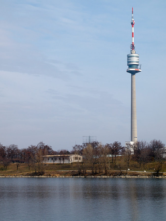
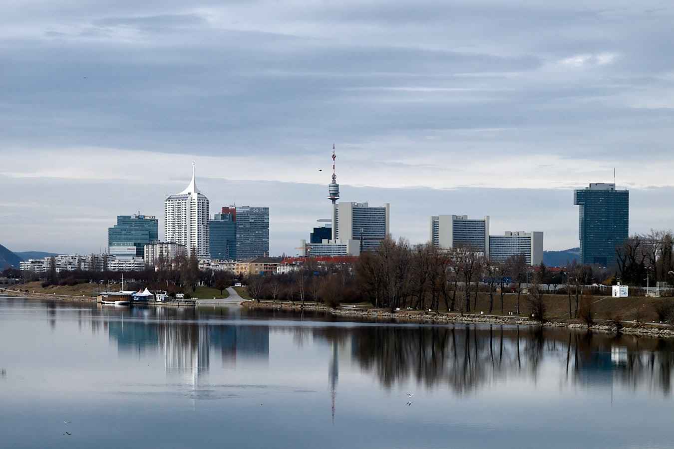
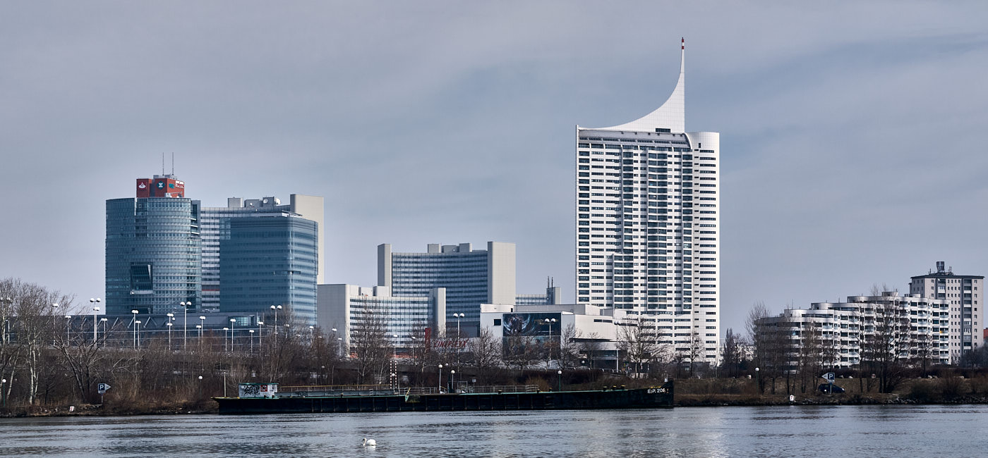
Donauinsel
Die Donauinsel ist eine künstliche Insel zwischen der Donau und der „Neuen Donau“ mit 21,1 km Länge. Sie misst an der breitesten Stelle nur 250m. Sie liegt hauptsächlich in den Wiener Bezirken 21 („Floridsdorf“) und 22 („Donaustadt“).
Danube Island
Danube Island is an artificial Island between Danube and „Neue Donau“ („New Danube“), which today is practically an elongated (swimming) lake. The Island has a length of 13,1 miles but is very narrow (230–394 feet width). It is located mainly in the Viennese districts 21 („Floridsdorf“) and 22 („Donaustadt“).
![Ein Brückentragwerk auf der Donauinsel](https://i0.wp.com/www.weinzettl.info/wp-content/uploads/20100228-1507-_2281002.jpg?resize=680%2C850&ssl=1)
![Nördliches Donauufer von der Donauinsel aus gesehen mit UNO City und Seidler Tower](https://i0.wp.com/www.weinzettl.info/wp-content/uploads/20100320-1020-_3201161-62-pano-1.jpg?resize=1024%2C475&ssl=1)
![Ein Industrie-Schornstein von Sträuchern und Bäumen überwuchert](https://i0.wp.com/www.weinzettl.info/wp-content/uploads/20100228-1302-_2280939r.jpg?resize=1024%2C683&ssl=1)
![Graffiti unterhalb einer Brücke](https://i0.wp.com/www.weinzettl.info/wp-content/uploads/20100228-1330-_2280961.jpg?resize=1024%2C768&ssl=1)
![Eine Ersatzbrücke über die Donau](https://i0.wp.com/www.weinzettl.info/wp-content/uploads/20100320-1217-_3201233.jpg?resize=638%2C850&ssl=1)
![Ein Schiffsanleger in der Nähe der UNO City](https://i0.wp.com/www.weinzettl.info/wp-content/uploads/20100228-1455-_2280990.jpg?resize=638%2C850&ssl=1)
![Der massive Wohnriegel des Wohnparks Donau City](https://i0.wp.com/www.weinzettl.info/wp-content/uploads/20100320-1058-_3201178.jpg?resize=1024%2C768&ssl=1)
![Die Sperre eines Kraftwerks](https://i0.wp.com/www.weinzettl.info/wp-content/uploads/20100228-1342-_2280982.jpg?resize=1024%2C683&ssl=1)
![Großflächige Graffiti unter einer Brücke](https://i0.wp.com/www.weinzettl.info/wp-content/uploads/20100320-1211-_3201232.jpg?resize=1024%2C683&ssl=1)
![Der 252m hohe Donauturm mit sich drehendem Restaurant](https://i0.wp.com/www.weinzettl.info/wp-content/uploads/20100320-1104-_3201188.jpg?resize=638%2C850&ssl=1)
![Gebrochene und gefallene Bäume über einem Bach](https://i0.wp.com/www.weinzettl.info/wp-content/uploads/20100320-1156-_3201215.jpg?resize=1024%2C768&ssl=1)
![UNO City, Seidler Tower und Donauturm von der Donauinsel aus gesehen](https://i0.wp.com/www.weinzettl.info/wp-content/uploads/20100228-1341-_2280980.jpg?resize=1024%2C683&ssl=1)
![Eine Treppe innerhalb des Kraftwerks Freudenau](https://i0.wp.com/www.weinzettl.info/wp-content/uploads/20100228-1345-_2280987.jpg?resize=1024%2C768&ssl=1)
![Die Spiegelung eines Kirchturms an einer gewölbten Glasfront](https://i0.wp.com/www.weinzettl.info/wp-content/uploads/20100320-1015-_3201148r.jpg?resize=638%2C850&ssl=1)
![Ein 113m hohes, ovales und vielstöckiges Bürohochhaus](https://i0.wp.com/www.weinzettl.info/wp-content/uploads/20100320-1149-_3201212.jpg?resize=664%2C850&ssl=1)
![Graffiti unterhalb einer Brücke](https://i0.wp.com/www.weinzettl.info/wp-content/uploads/20100228-1331-_2280963.jpg?resize=1024%2C768&ssl=1)
![Die Waluliso-Brücke bzw. deren Tragwerk](https://i0.wp.com/www.weinzettl.info/wp-content/uploads/20100228-1327-_2280957r.jpg?resize=680%2C850&ssl=1)
![Ein Zwei mit Palmkatzerln](https://i0.wp.com/www.weinzettl.info/wp-content/uploads/20100228-1518-_2281009.jpg?resize=1024%2C768&ssl=1)
![Der Millenniumtower von der Donauinsel aus gesehen](https://i0.wp.com/www.weinzettl.info/wp-content/uploads/20100320-1114-_3201200.jpg?resize=850%2C850&ssl=1)
![Wasserstandskala](https://i0.wp.com/www.weinzettl.info/wp-content/uploads/20100228-1344-_2280983.jpg?resize=1024%2C768&ssl=1)
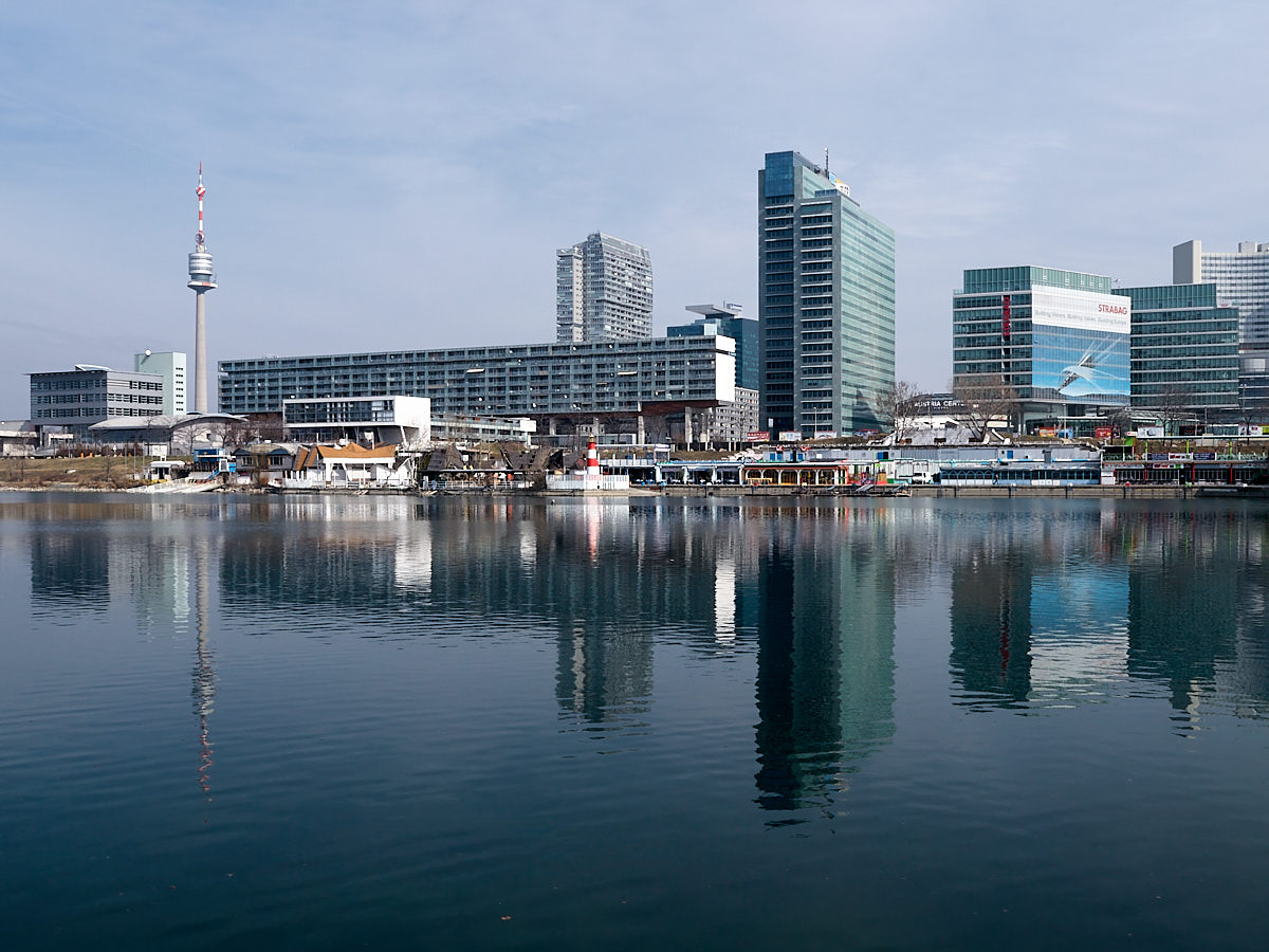
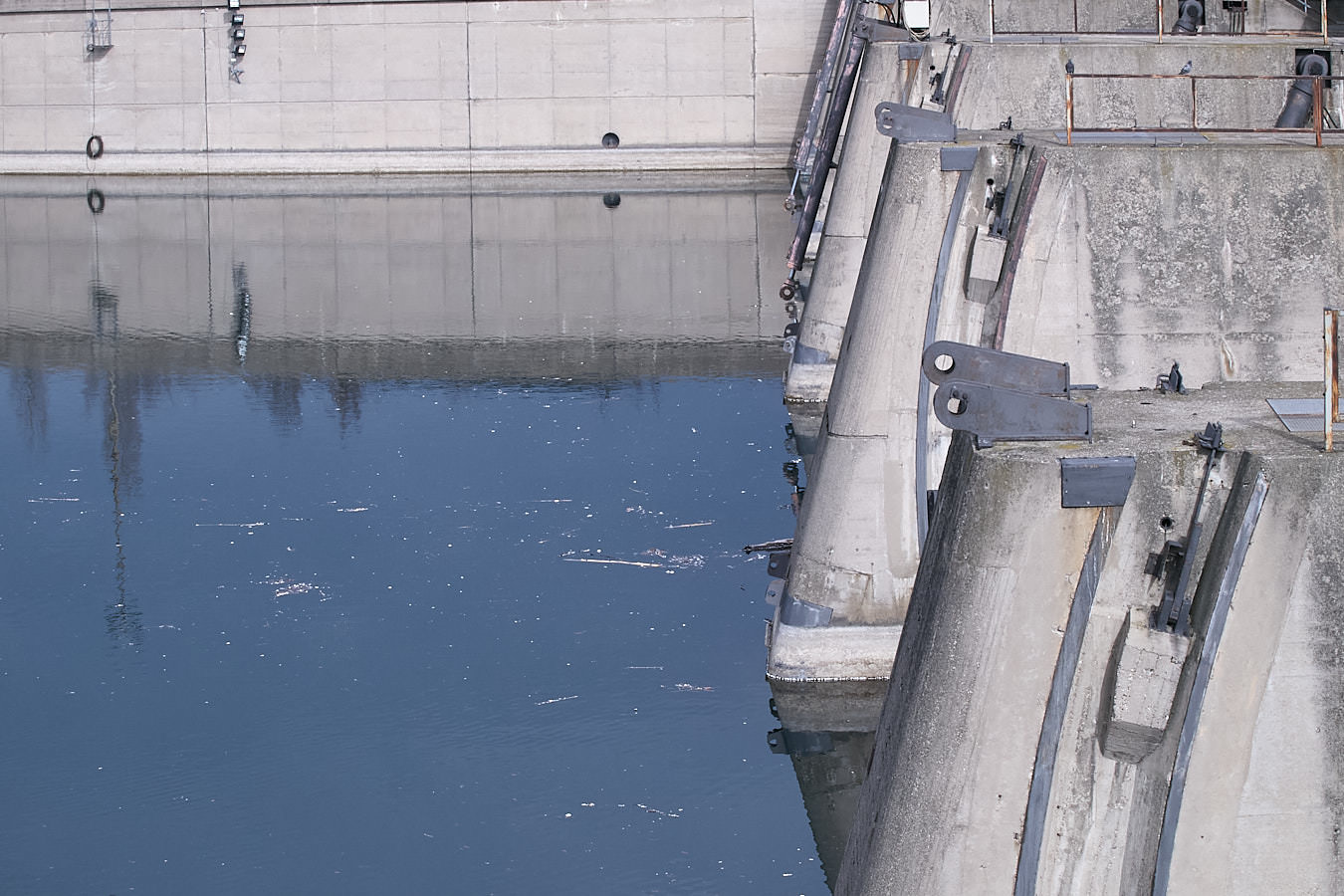
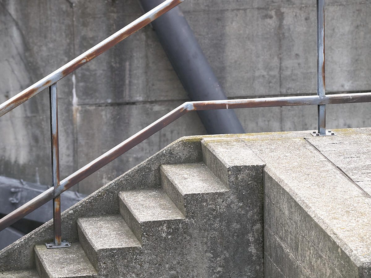
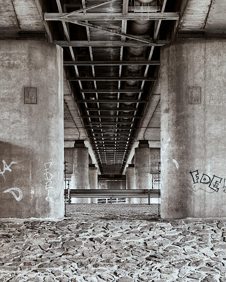
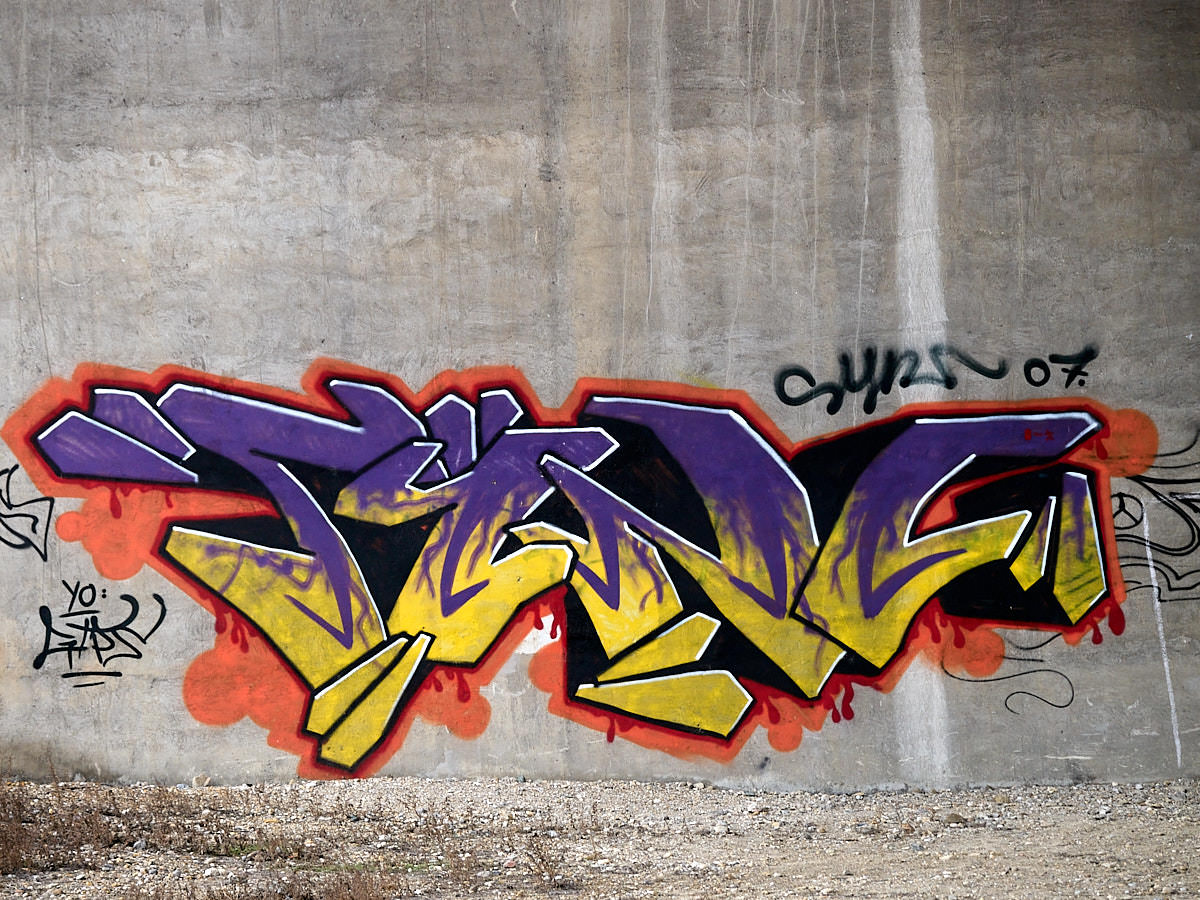
Die Insel ist ein wichtiger Teil des Wiener Hochwasserschutzes und wurde in den Jahren 1972 bis 1988 angelegt. Sie ist heute mit der Alter und Neuer Donau ein sehr beliebtes Naherholungsgebiet mit Bars, Restaurants und Nachtklubs. Der Stand erschien den Wienern so exotisch, dass sie ihn „Copa Kagrana“ taufen. Der Name ist einerseits eine Anspielung auf Rio de Janeiro’s „Copacabana“, deutet aber andererseits auf die nahe Umgbung: Der Strand liegt vis a vis des Stadtteils „Kagran“, einem Teil des 22. Bezirks.
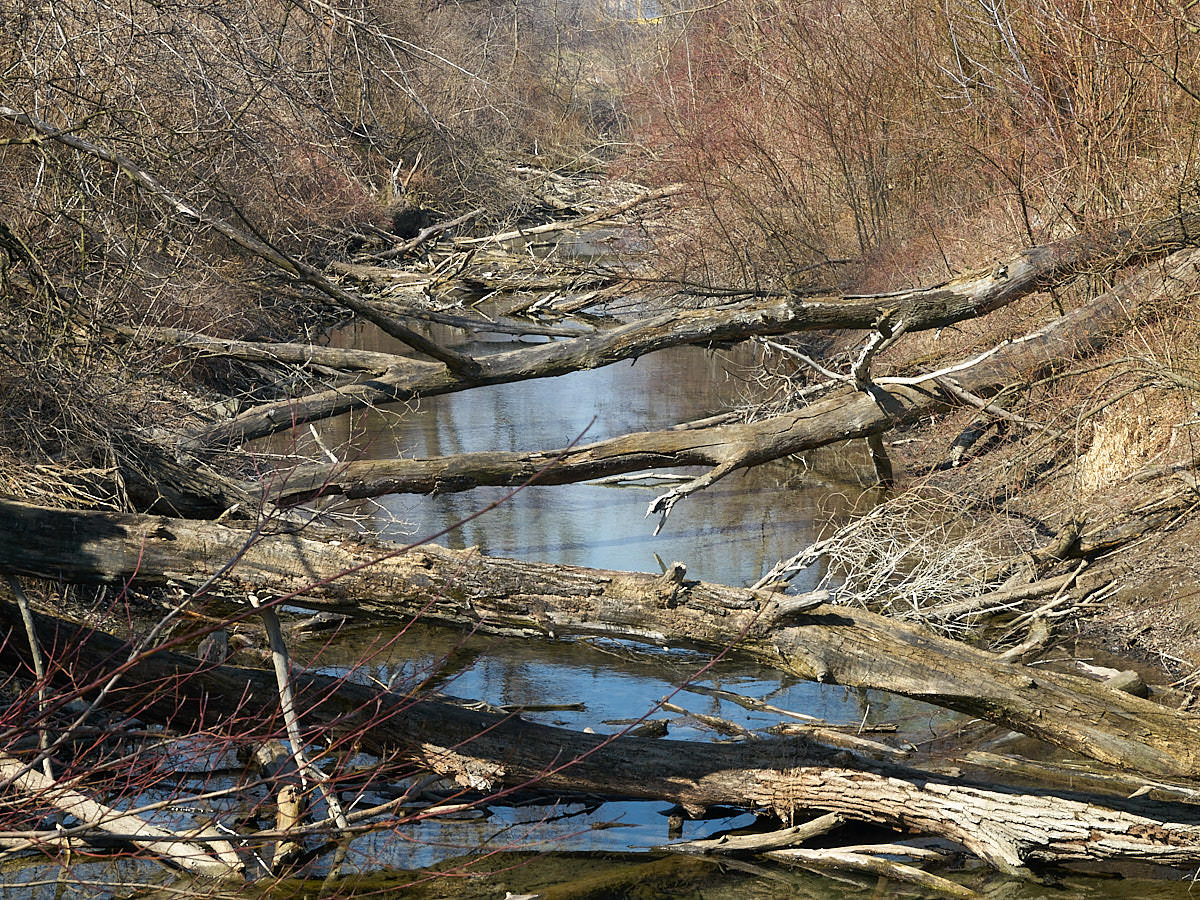
Zur Begrünung der Insel wurden etwa 1,8 Mio. Bäume und etwa 170ha Wald gepflanzt. Nord- und Südteil der Insel wurden dabei ziemlich naturnah angelegt, das mittlere Drittel der Insel hingegen hat eine parkähnliche Landschaft bekommen.
Jährlich findet hier das „Donauinselfest“ mit etwa 3 Mio. Besuchern statt. Es ist damit die größte Open Air Veranstaltung Europas.
The Danube Island is an important part of the Viennese flood protection. Is was build in the years 1972 to 1988. About 1.8 million trees and 420 acres forest were planted for the purpose of cultivation. Meanwhile a lot of wild animals have settled on the island. Today you can find rare species of birds, amphibians and fishes and even roes, rabbits and beavers live there.
Wikipedia, as usual, knows more:
To most visitors, the island is known as a recreational area with bars, restaurants and nightclubs. It has sports opportunities from rollerblading, cycling and swimming to canoeing. There is one beach that, in its beginning, felt so exotic that it was soon nicknamed the „Copa Cagrana“ as a humoristic allusion to Rio de Janeiro’s Copacabana: Kagran is the part of the 22nd District of Vienna next to that beach. In the southern and northern parts of the island, there are extensive (and free) nude beaches.
https://en.wikipedia.org/wiki/Donauinsel
The Donauinselfest („Danube Island Festival“) is an internationally well-known annual open air Festival. With over 3 million visitors a year, it is the biggest event of this kind in Europe. It takes place at the end of June (Friday through Sunday).